


















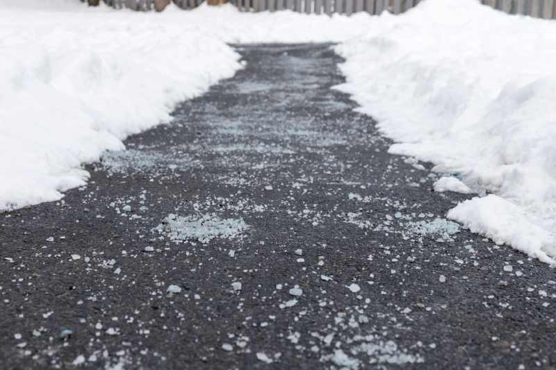

Tuesday brought warm temperatures into the upper 30s and low 40s in the Chicago area thanks to some sunshine. Patchy freezing drizzle may occur tonight as a result of heavier clouds that moved into the area this afternoon.
Although there shouldn’t be much of an impact from this event, viewers are advised to keep an eye out for any slick spots when driving on Wednesday morning.
The majority of Wednesday is expected to be cloudy, with the possibility of a few flurries or snow showers in the afternoon and evening. Northwest Indiana is expected to have the best chance of snowfall because of the lake effect.

With partly cloudy skies and highs in the low to mid-30s, Thursday is predicted to be drier.
On Friday, cloud cover returns, and on Saturday, there’s a second chance for light snow showers. The range of weekend temperatures is the mid to upper 30s.
Also drawing attention is a storm system that could have an impact on the region on Monday night and Tuesday of the following week, necessitating ongoing observation.