


















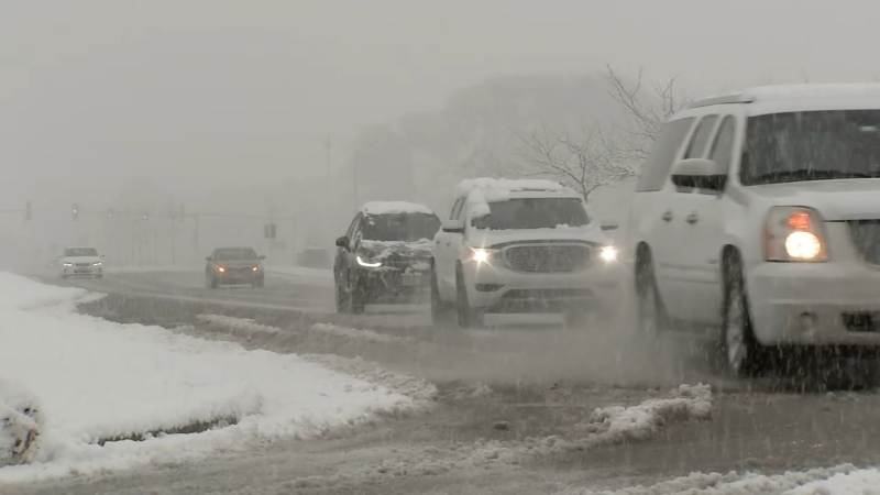

ABC7 Meteorologists Jaisol Martinez and Greg Dutra predict two rounds of wet snow and rain for the Chicago area on Monday and Tuesday nights.
According to the National Weather Service, a Winter Storm Watch will be in place for a few suburbs in the north and west from Tuesday morning to Wednesday morning.
According to NWS, Boone, McHenry, Winnebago, Ogle, Lee, and DeKalb counties will be under a Winter Storm Watch from 6 a.m. on Tuesday to 3 a.m. on Wednesday.
Through Wednesday morning, Chicago may receive 2 to 6 inches of total precipitation. There could be three to seven inches in the western suburbs and four to nine inches in the far western regions. Road problems could result from heavy, wet snow combined with blustery winds.
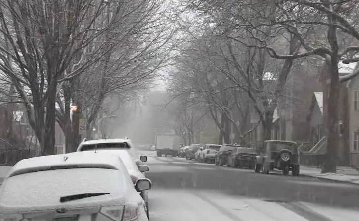
Up to three inches of precipitation could be brought to the city during the first round of storms, which is predicted to arrive between 8 and 10 p.m. on Monday. Throughout Tuesday’s commute, between 7 and 10 a.m., it will turn into a rain/snow mix. Wet snowfall is predicted to be greatest in areas south of Chicago.
The majority of the region will see snow on Tuesday night between 7 and 9 p.m. Gradually, light snow is predicted for Wednesday from 3 a.m. to 5 a.m.
West of Chicago, particularly in the counties of McHenry, Kane, LaSalle, and DeKalb, is where the highest precipitation totals from the Tuesday night round are predicted. The city could receive an extra 1 to 3 inches of precipitation, and the western suburbs could receive an additional 2 to 4 inches.